Re: [FCST/NCST] Gewitter Sa 08.07.2017 / So 09.07.2017
Verfasst: Sa 8. Jul 2017, 14:56
Die Estofexler schreiben von möglichem Update von LVL 1 auf LVL 2 in Frankreich, sowie auch von möglichen Superzellen.
...S Germany, Alps...
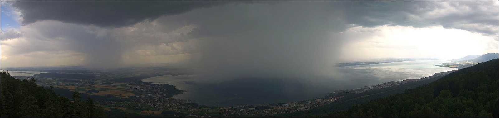
This area lacks any substantial large-scale feature to provide strong synoptic-scale lift. However, along with intensifying diurnal heating, evapotranspiration and steep lapse rates, NWP mesoscale models predict a widespread CI in the afternoon hours over S Germany and W Austria. GFS is more positive and includes whole Alpine area in the zone of locally lowered pressure producing widespread convective precipitation. Small to locally moderate instability (> 1500 J/kg ML CAPE) and low shear will favour slowly moving cells capable of producing heavy precipitation, large hail up to 3-4km and downburst-type severe wind gusts. Thanks to wind field interacting with mountains, a local enhancement in vertical shear and helicity is possible, and thus supercell thunderstorms cannot be ruled out. Convection should fade in the nighttime hours along with disappearing instability.