Excite Weather ...
Severe Storms Rolling Across The Southern Plains
9 PM CDT, May 7, 2007
UPDATED By WeatherBug Meteorologist, Adam Bell
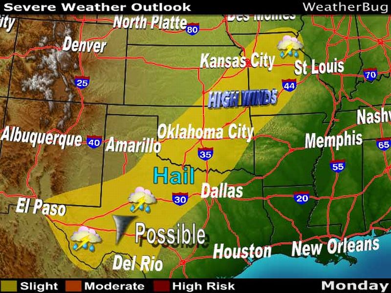
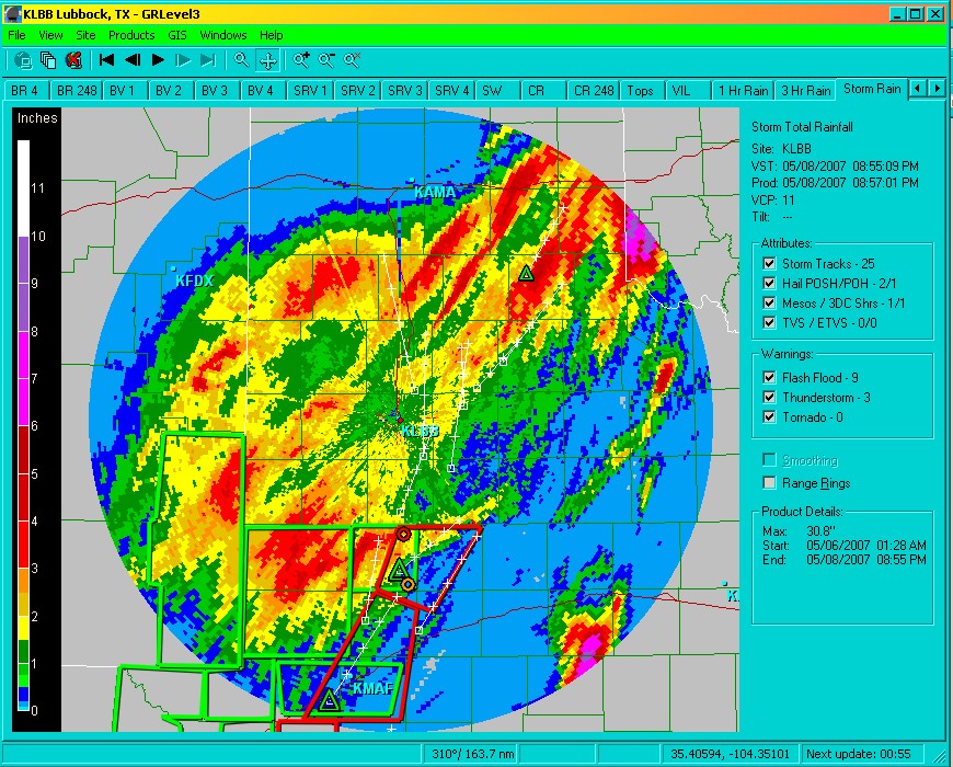
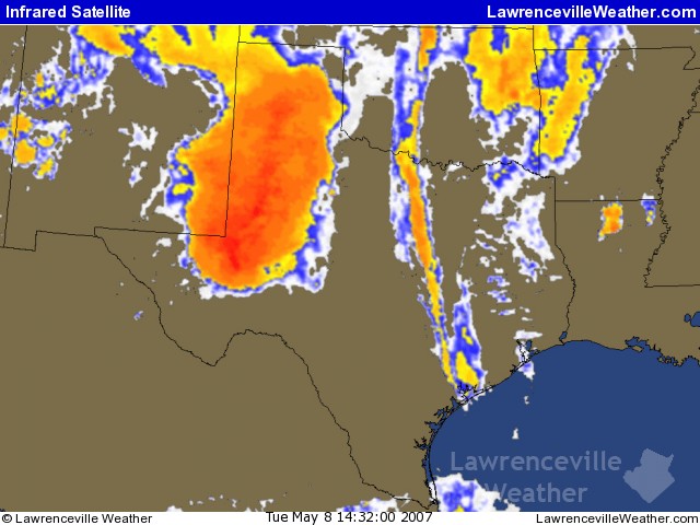
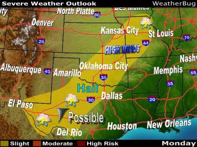
The active weather pattern that has generated three consecutive days of severe thunderstorms across the Central Plains has ignited another round of showers and storms this evening. These storms, staying confined to Texas, Oklahoma and Arkansas, will continue throughout the nighttime hours.
These storms have formed along and ahead of a slow-moving cold front associated with an area of low pressure drifting through the Great Lakes. While the severe threat with these storms will continue to diminish as the night progresses, the threat for heavy rainfall will be a constant threat.
These torrential downpours could trigger isolated cases of flash flooding. Increasing the vulnerability for flooding is the already saturated soil from all of the recent storm activity over the last week or two.
Click here for the latest video about the Central U.S. flood potential.
The catalyst for the widespread severe thunderstorm activity has been a large dip in the jet stream over the western third of the U.S. This has led to the development of a slow-moving north-south oriented cold front stationed over the Central Plains. Storms, fed by a strong jet stream above and Gulf of Mexico moistures streaming into the Plains ahead of front, have been forming every afternoon and evening along and ahead of this front.
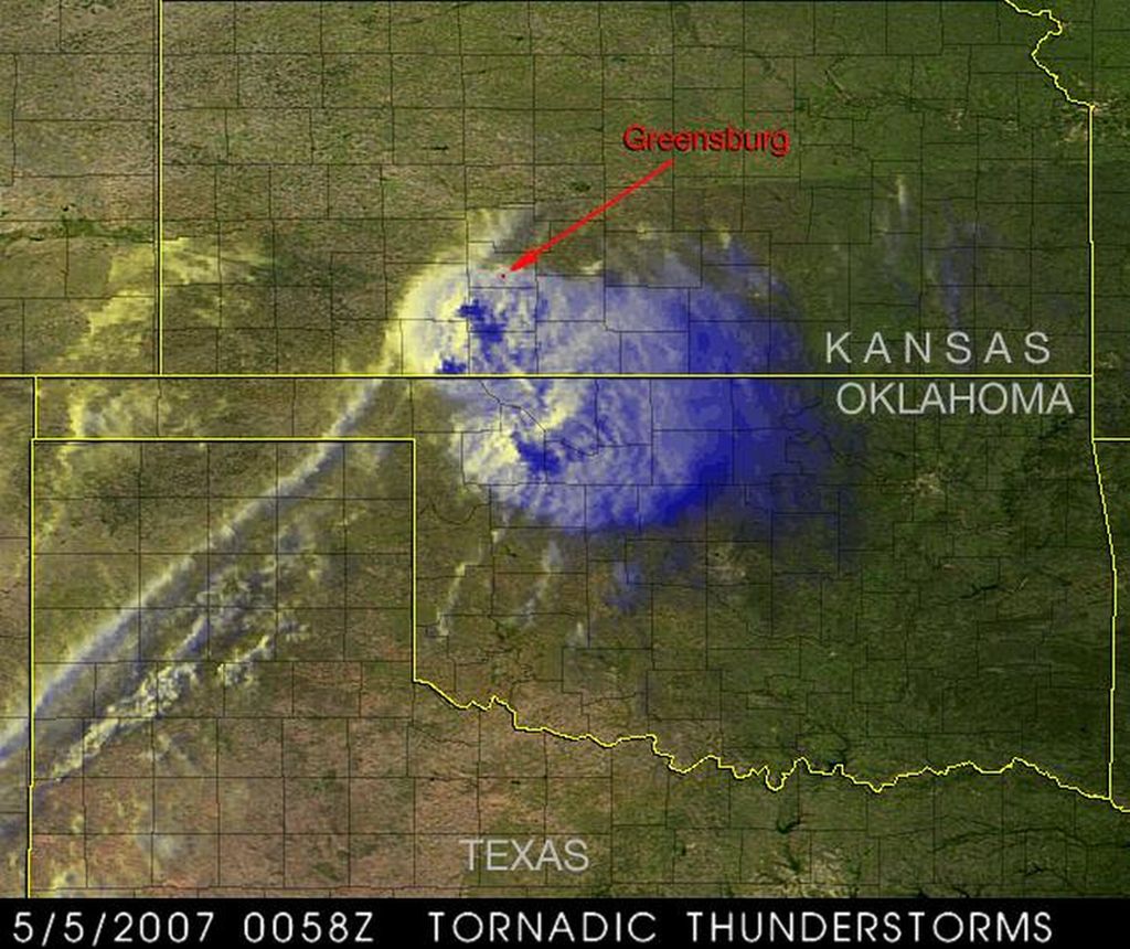
On Sunday afternoon and evening, 10 tornadoes were reported across Kansas, Oklahoma and Texas. No injuries or deaths were reported from Sunday's storms but a tornado near Seminole, Okla., knocked a trailer from its foundation and destroyed a barn. Tornadoes that struck Langdon, Kansas and Little, Okla. damaged trees and knocked out power to local communities.
What do you think of this story?
Click here for comments or suggestions.
=
Bild dazu ...
=
Quelle:
http://weatherbug.excite.com/StormCentr ... &lid=SCBCS