Seite 1 von 3
[FCST/NCST] Gewitter 24.06.2021
Verfasst: Do 24. Jun 2021, 07:08
von MHZG
November? - Nein, 24. Juni (das Laub an den Bäumen ist ja noch grün). Fehlende Feuchte in der Grundschicht wird heute jedenfalls nicht der limitierende Faktor bei der erneuten Bildung von Schauern und Gewittern sein...
Gruss
Martin

Re: [FCST/NCST] Gewitter 24.06.2021
Verfasst: Do 24. Jun 2021, 07:53
von Vortex2
Guten Morgen
Estofex hat Heute noch einmal einen Level 2 für grosse Teile der Schweiz:
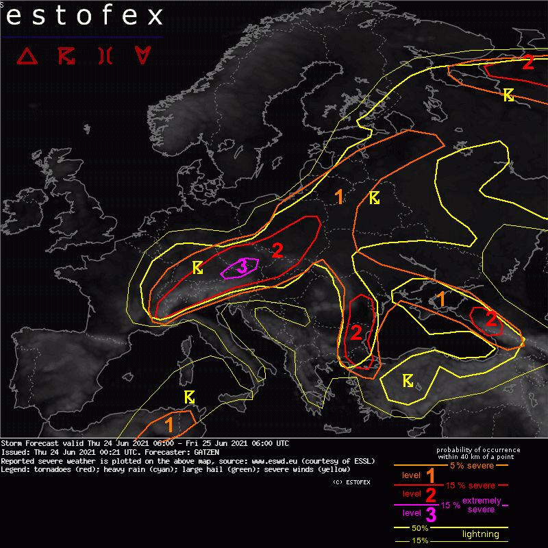
Western and northern Alpine region into SE Germany, Czechia, Slovakia and S Poland
A strong south-westerly mid-level jet slowly progresses eastward on Thursday. An embedded short-wave trough spreads north-east and associated differential vorticity advection increases during the day. At lower levels, a frontal boundary extends from the western Alps towards SE Germany and into Czechia. Moist and unstable air are present to the south-east of this boundary. In response to pressure falls north of the Alps, moisture will return westward during the day and warm air advection sets in.
Convection initiation will become more likely during the day, with a peak of convective activity in the evening. Main focus will be storms forming along a cold front that progresses over southern Germany in the afternoon, but more isolated storms are also possible in the warm air advection regime farther east. Strong deep layer shear of 20 to 30 m/s will support supercells capable of giant hail and severe wind gusts. A level 3 was issued for the area with highest expected storm coverage.
Due to the high coverage of storms and strong 0-3 km wind shear, formation of foreward propagating MCSs and bow echoes is expected, with severe winds becoming the main threat. A tornado is not ruled out, with increasing potential across Slovakia due to strong low-level vertical wind shear that develops in the evening.
Clusters elevated storms are expected to persist for most of the night while progressing across Poland, with slowly decreasing risk of severe wind gusts and large hail.
Quelle: estofex.org
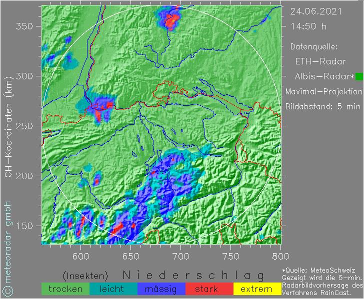
Die Modelle scheinen sich heute ziemlich einig zu sein: um 13:00 geht es bei allen im Jura und in den Alpen los und gegen 17:00 bis 18:00 dann im östlichen Mittelland.
Die momentanen Niederschlage von Bern bis Lausane sollten laut den Modellen bis 11:00 verschwunden sein.
Gruss
Vortex
Re: [FCST/NCST] Gewitter 24.06.2021
Verfasst: Do 24. Jun 2021, 08:50
von Silas
Hallo zämä
Die Vorfeuchte der letzten Tage und die Niederschläge heute Morgen im Bernbiet sind nicht zu unterschätzen! Bald werden es verbreitet über 20 mm

sein - fehlt nur noch eine ansehnliche Niederschlagsintensität heute Nachmittag und die letzten Tage waren in dieser Region nur der Vorgeschmack

Gruss Silas
Re: [FCST/NCST] Gewitter 24.06.2021
Verfasst: Do 24. Jun 2021, 12:43
von widovnir
Ich denke überall, wo in den letzten 7 Tagen an die 100 mm oder mehr gefallen sind, dürfte jedes zusätzliche Gewitter langsam kritisch werden:
https://kachelmannwetter.com/ch/regensu ... 0550z.html
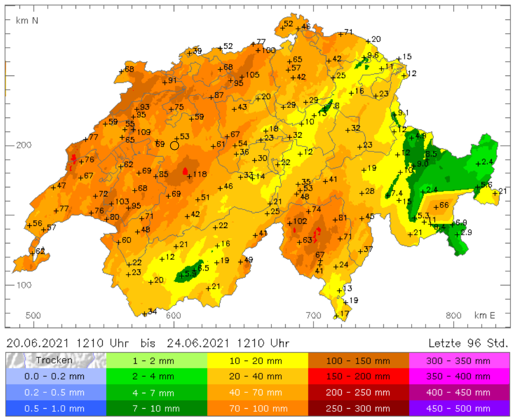
Quelle:
https://meteoradar.ch/regenkarten/index.php
Hier am Zürichsee ist seit dem Wochenende nicht viel Regen gefallen, aber die 60 mm in 60 min vom letzten Freitag können sich dennoch bemerkbar machen, sollten nochmals grössere Regenmengen fallen in nächster Zeit.
Re: [FCST/NCST] Gewitter 24.06.2021
Verfasst: Do 24. Jun 2021, 13:17
von Rontaler
Hallo
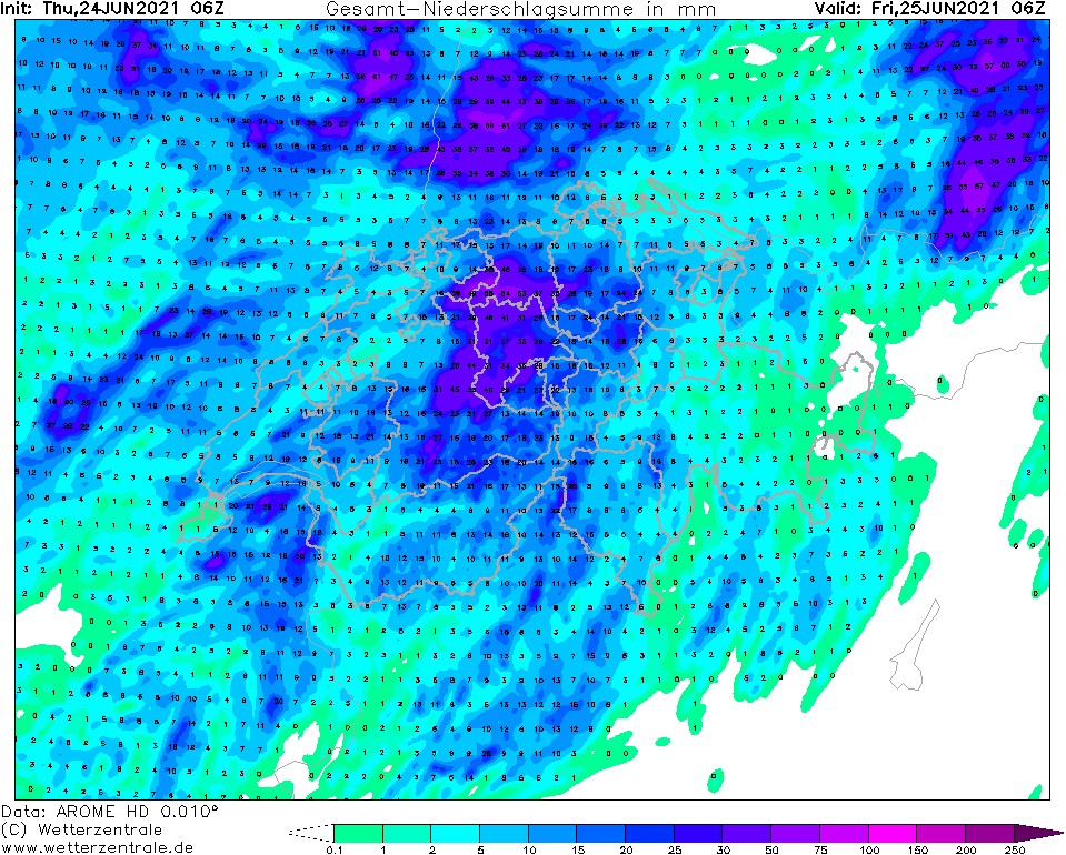
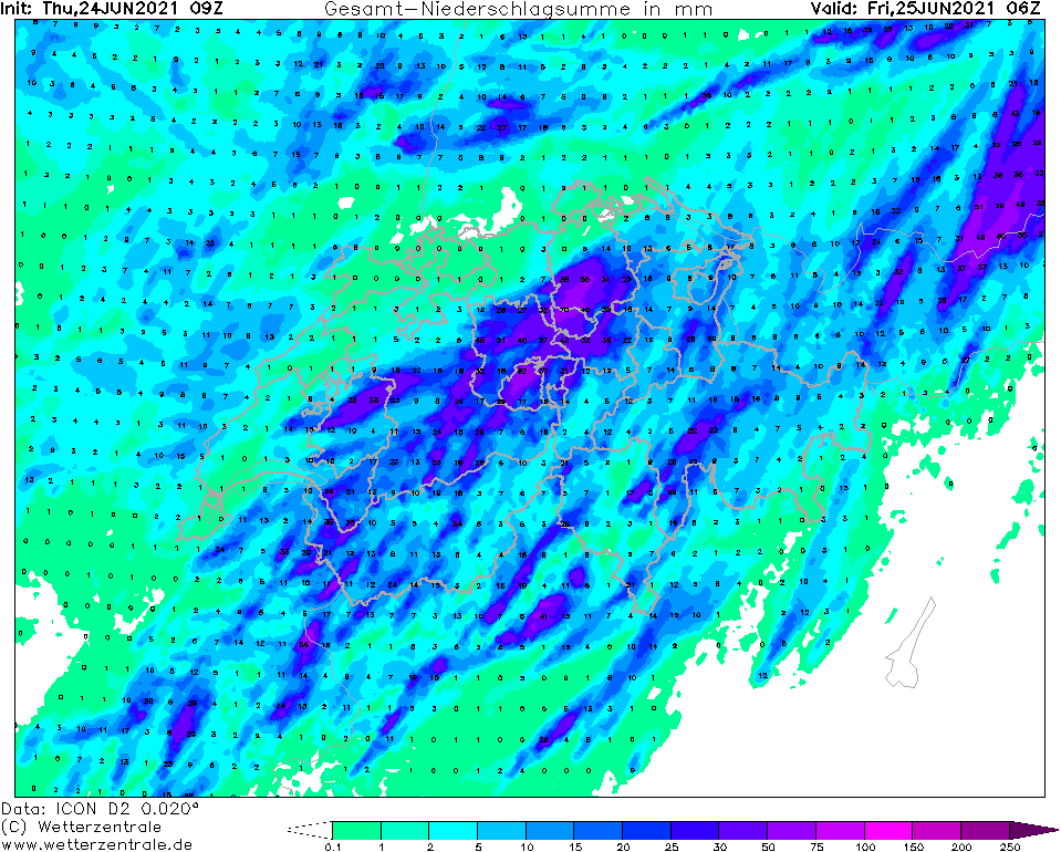
Die Niederschlagsmengen können punktuell wieder happig ausfallen, jedoch ist meiner Meinung nach das genaue Wo und Wann wie gestern eine reine Lotterie.
AROME:
ICON:
Super HD (Kachelmannwetter):
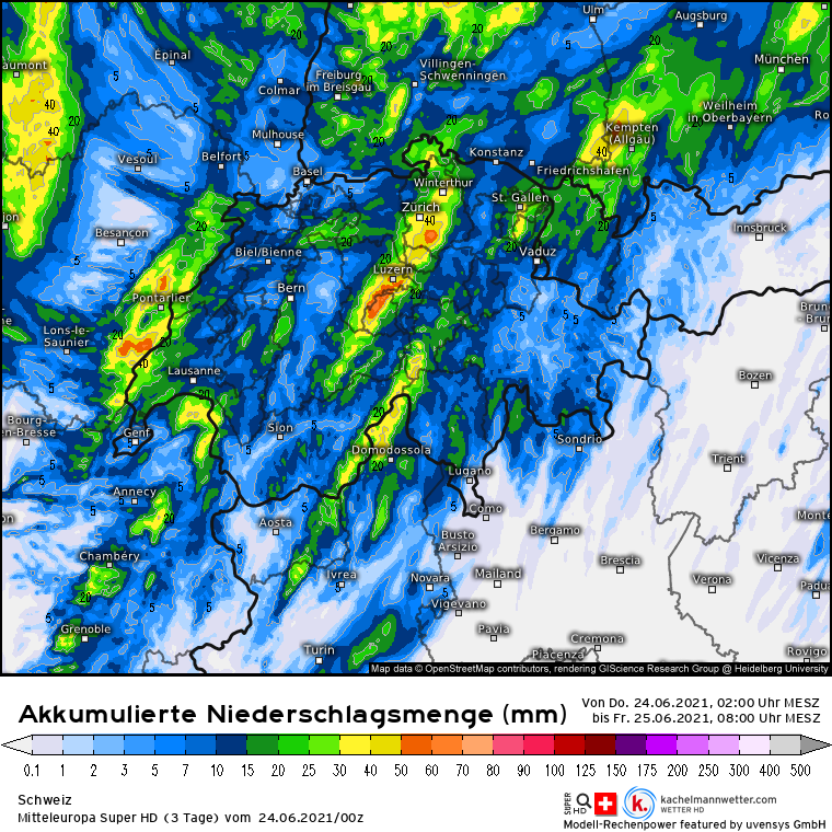
Quelle:
https://kachelmannwetter.com/ch/modellk ... 0600z.html
Hoffen wir das Beste, bzw. dass die Gebiete, die schon zu viel erhalten nichts mehr erhalten.
Gruss
Re: [FCST/NCST] Gewitter 24.06.2021
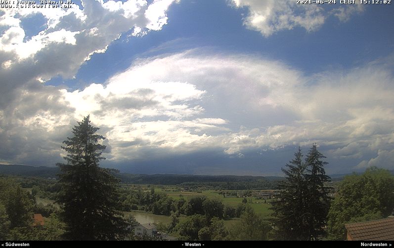
Verfasst: Do 24. Jun 2021, 15:21
von flowi
Re: [FCST/NCST] Gewitter 24.06.2021
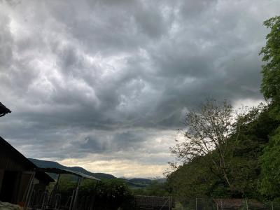
Verfasst: Do 24. Jun 2021, 16:01
von Jeannette
Grad in der Anflugschneise


Re: [FCST/NCST] Gewitter 24.06.2021
Verfasst: Do 24. Jun 2021, 16:07
von Bernhard Oker
Re: [FCST/NCST] Gewitter 24.06.2021
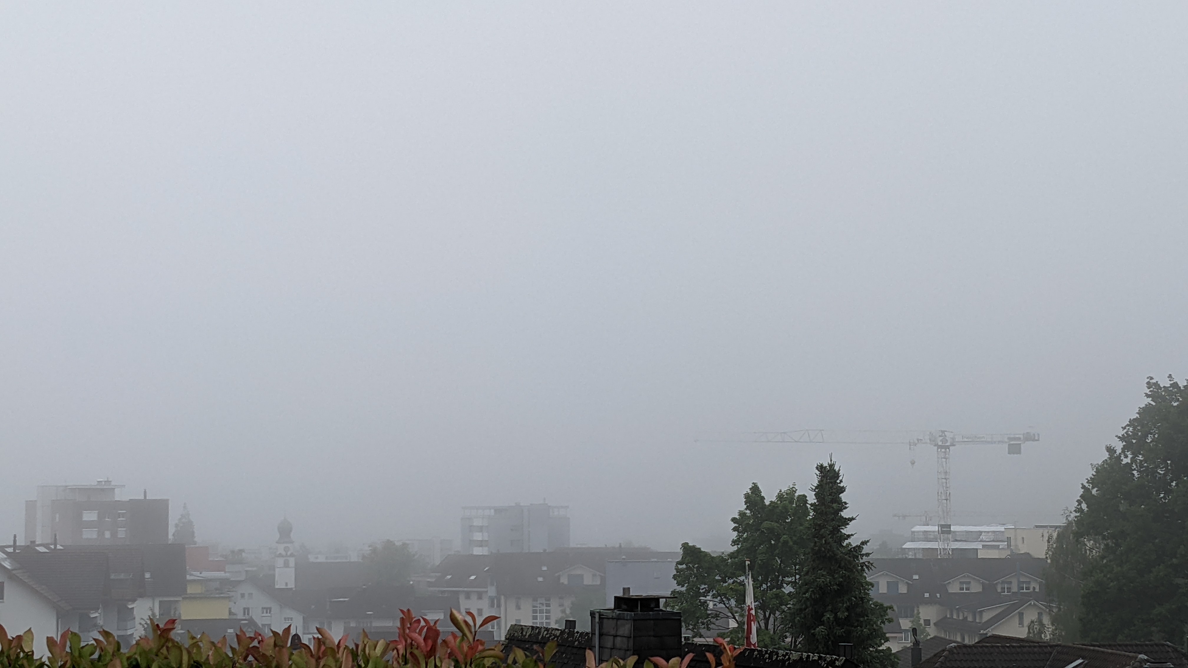
Verfasst: Do 24. Jun 2021, 16:23
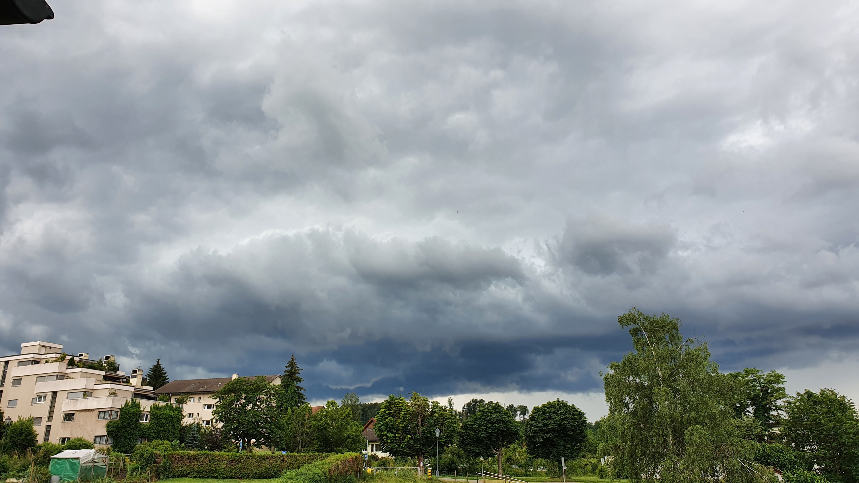
von Jeannette
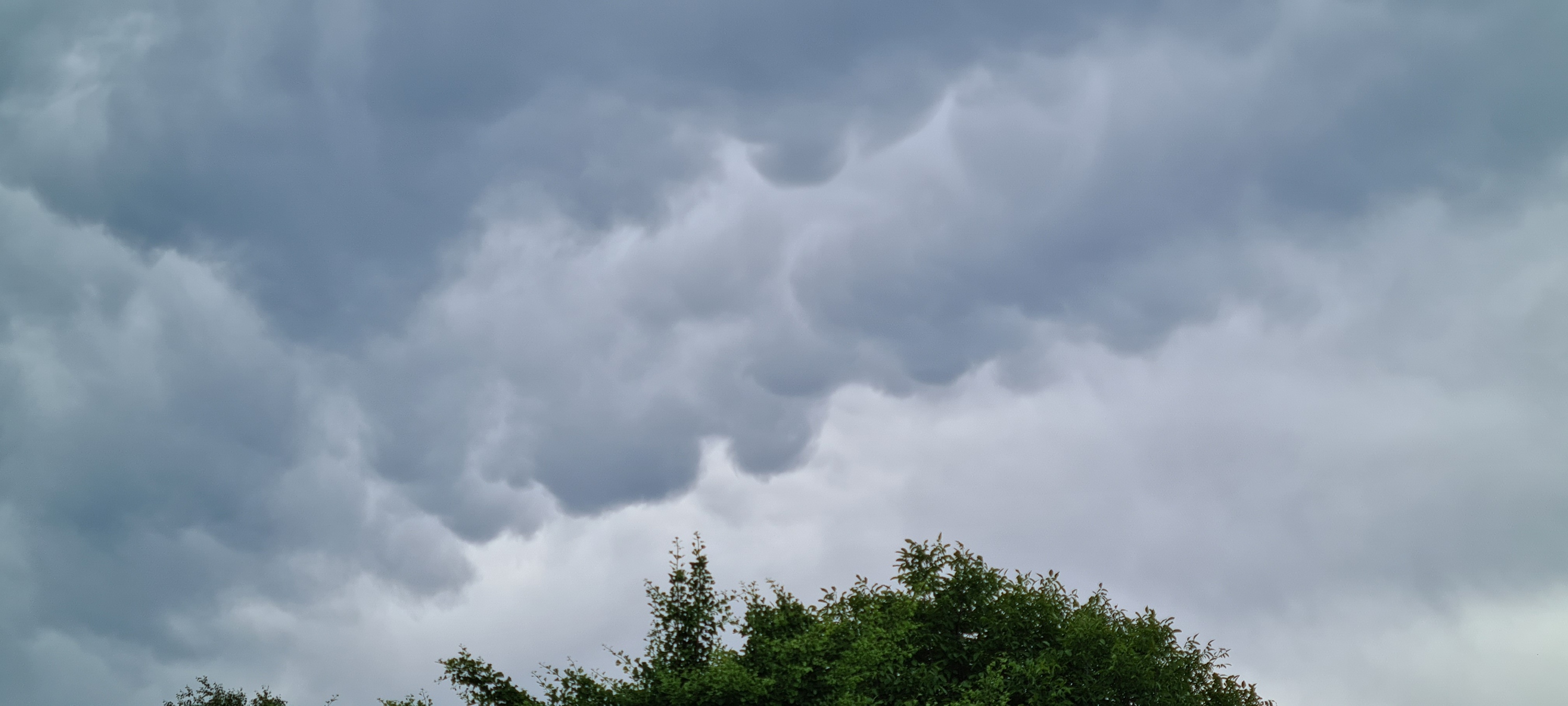
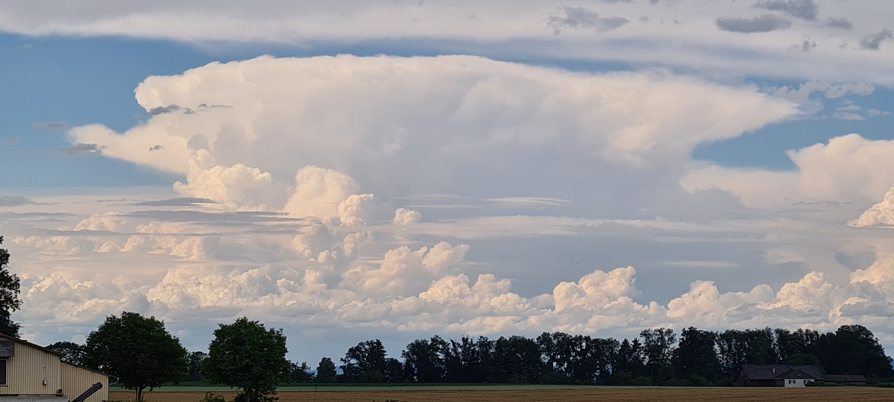
Gab einige Blitze, kleiner Hagel, riesige Regentropfen und super Wolkenformationen. So schnell wie sie anzog war sie auch schon wieder weg.
Re: [FCST/NCST] Gewitter 24.06.2021
Verfasst: Do 24. Jun 2021, 16:30
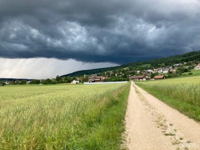
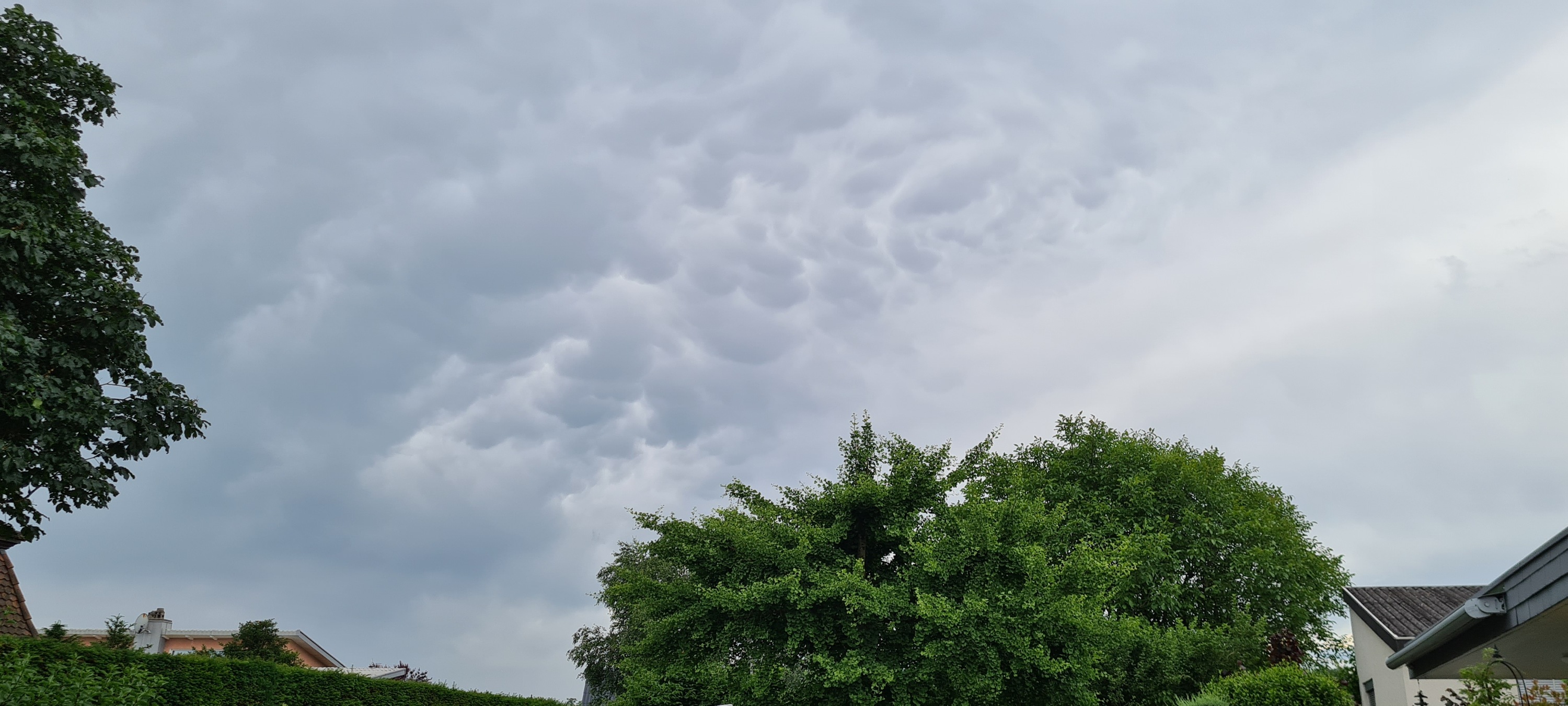
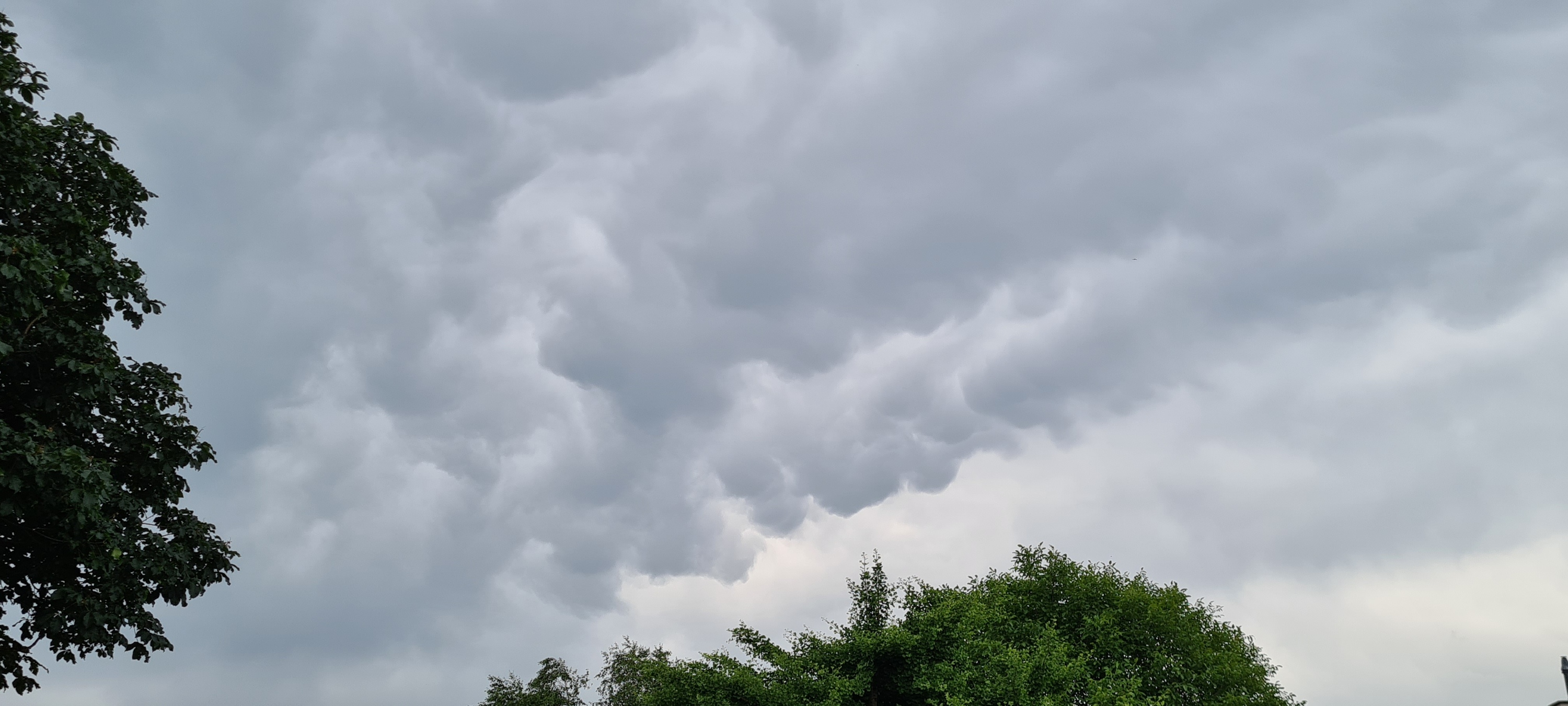
von pcrail
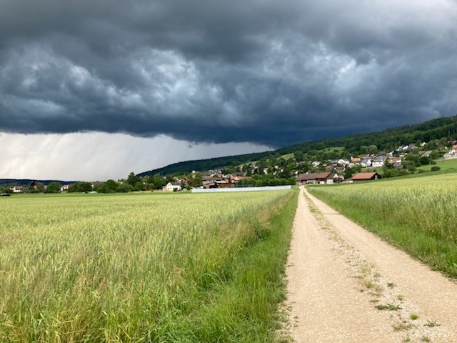
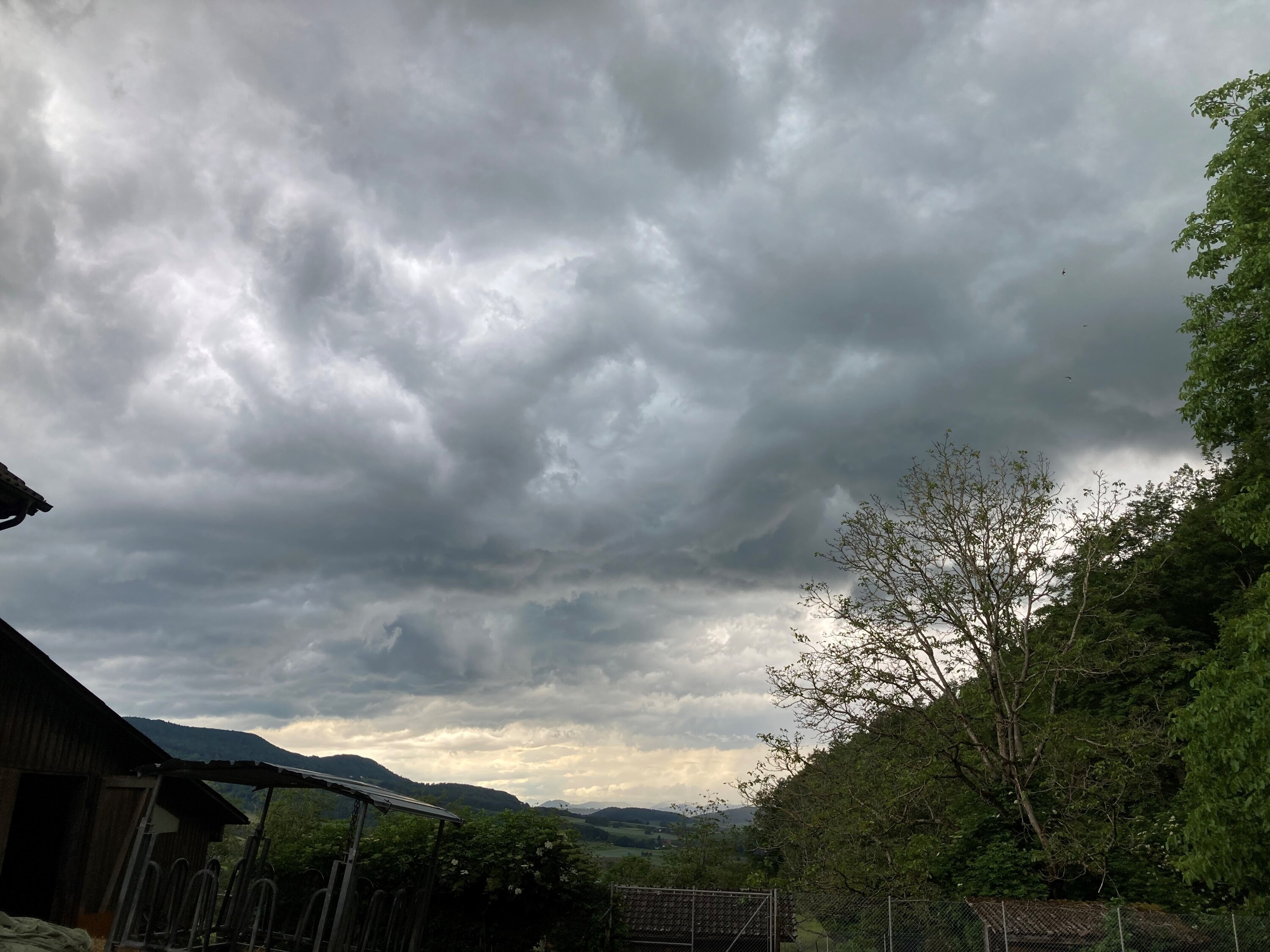
Bilder aus dem Wehntal in Richtung Jura, ca 15:30