Hallo zusammen
Um langsam vom gestrigen Geschehen abzulenken

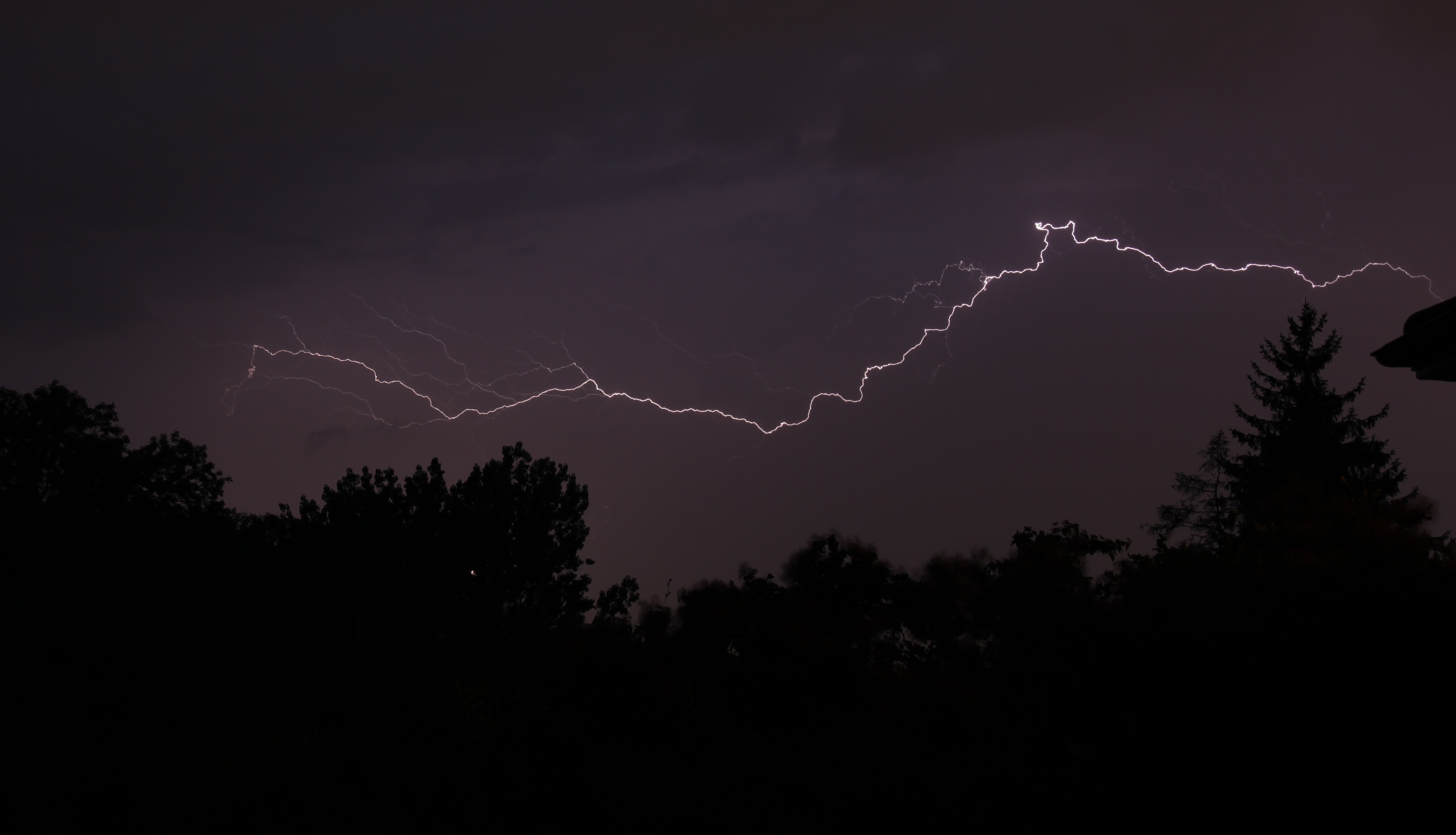
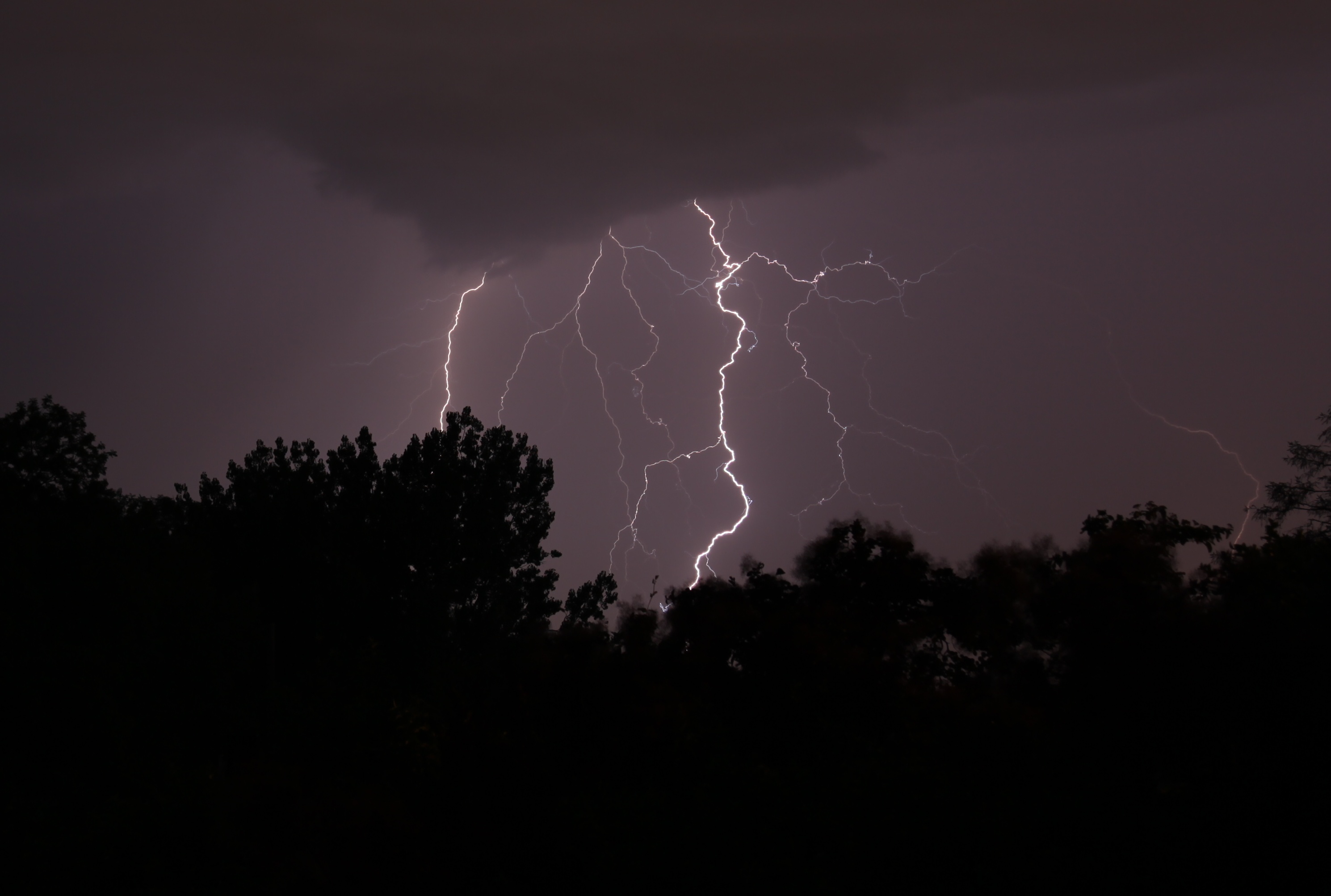
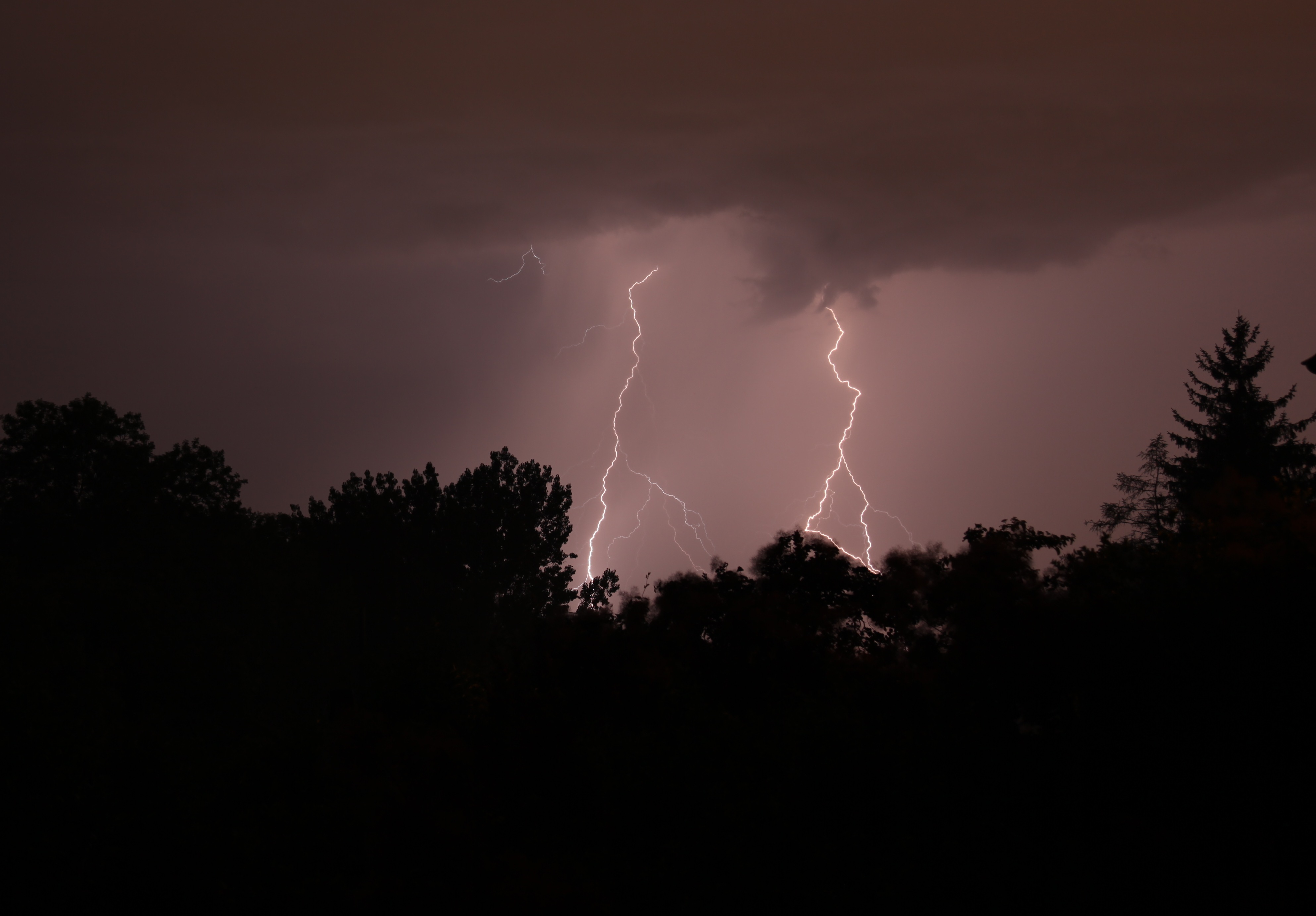
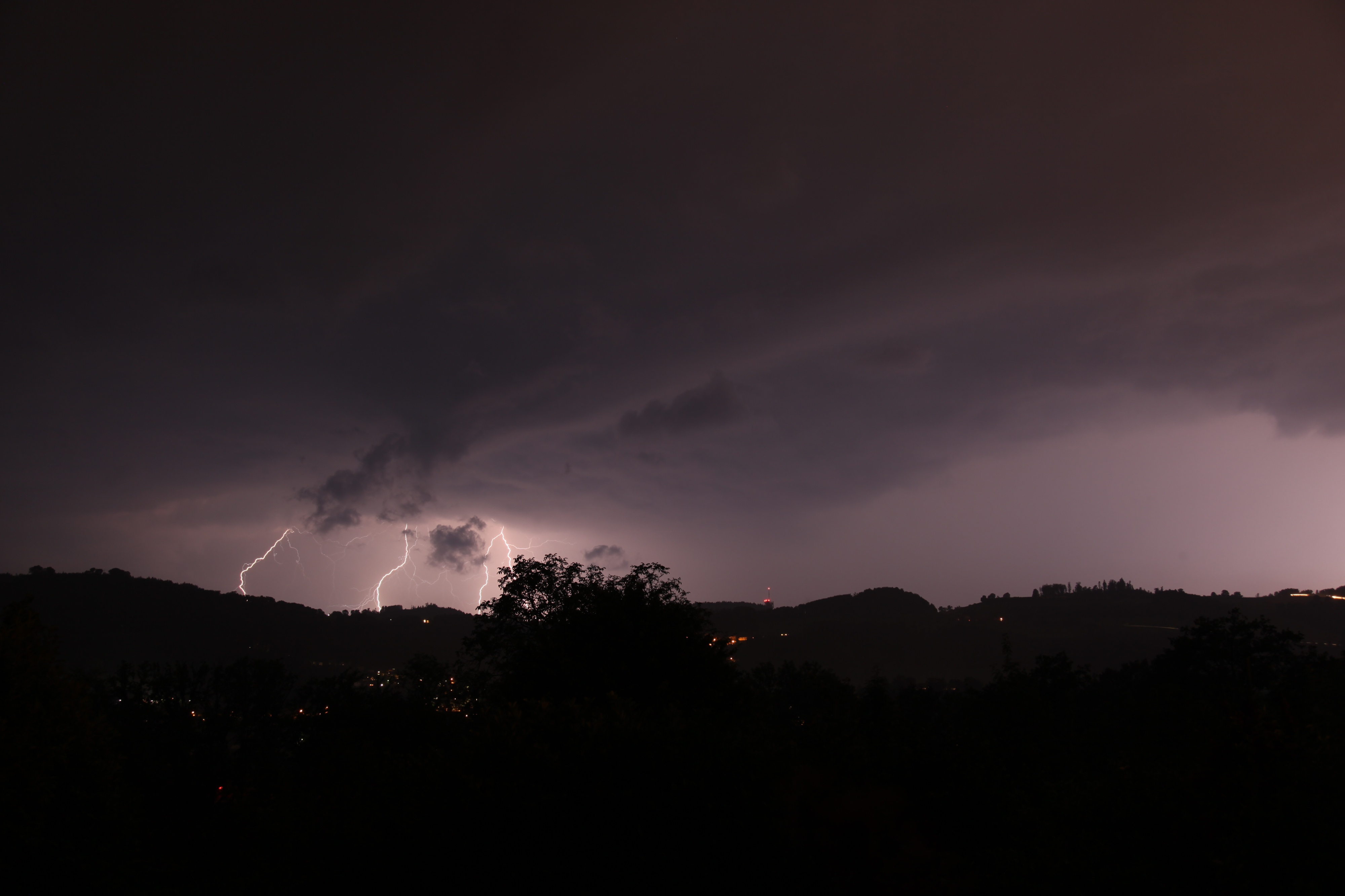
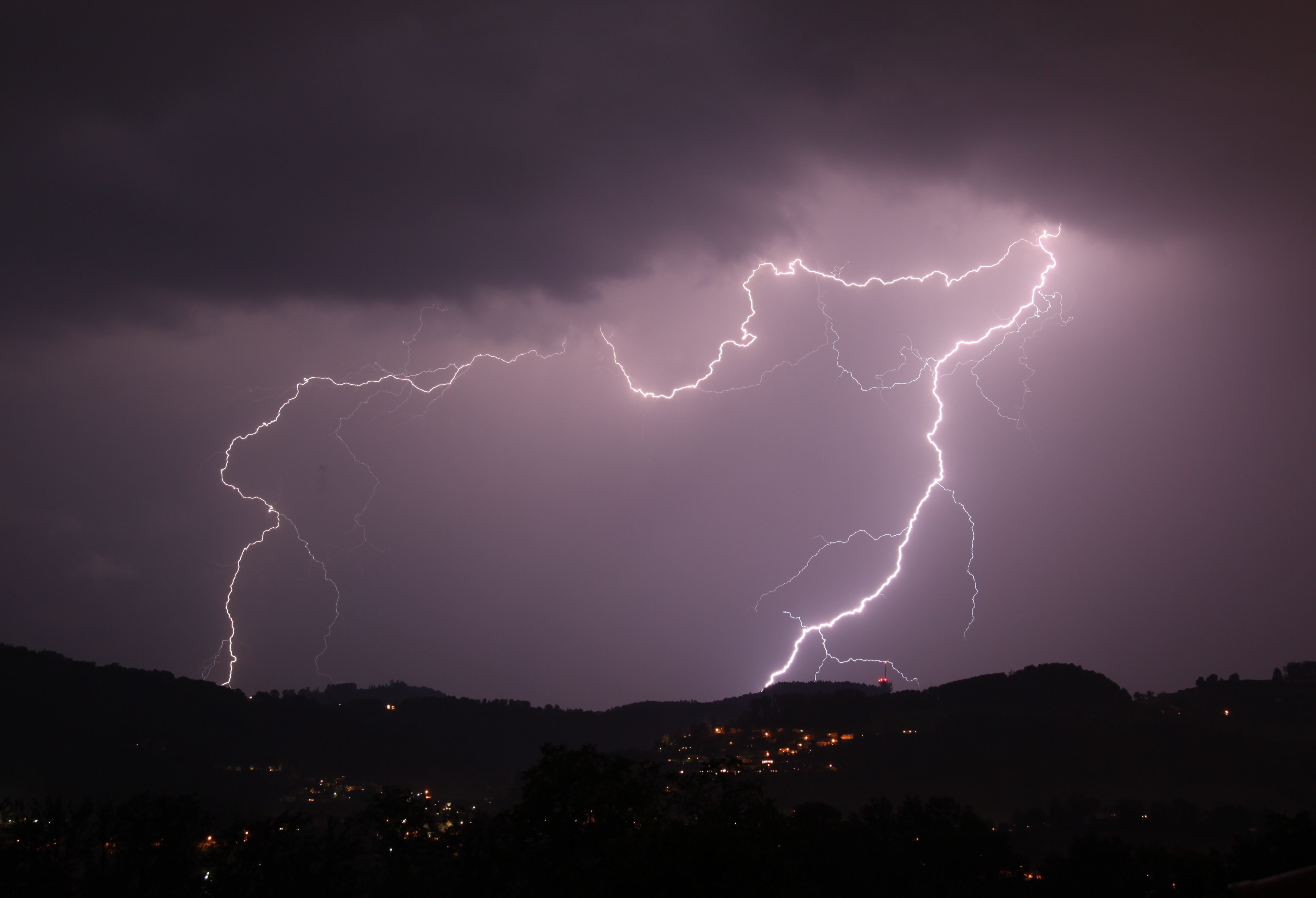
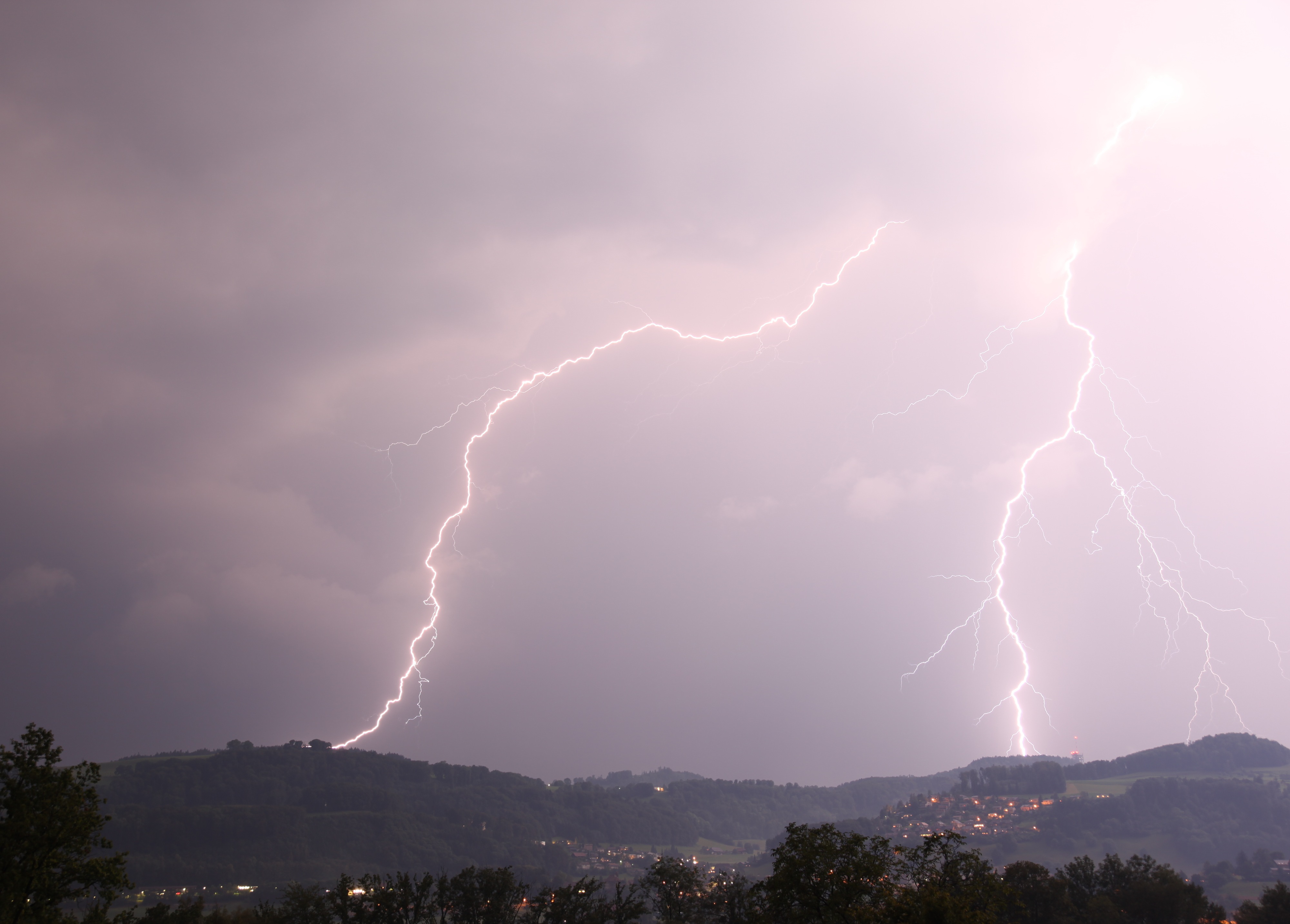
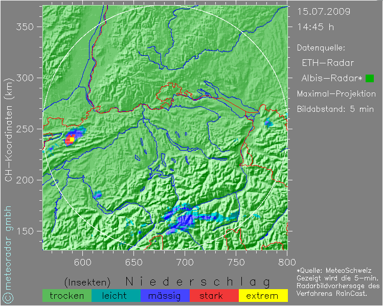
: Täusche ich mich oder entstehen im Jura (Delemont, aber auch im südlichen Teil des Juras (Kanton Waadt) neue Gewitter?
Und was denkt ihr überhaupt über die heutigen Gewitterchancen? Estofex hat Level 1 für die Ostschweiz:
Germany, Czech republic, Austria, Poland...
It is expected that elevated convection will be ongoing over parts of central, southern and eastern Germany early Tuesday morning, which may locally lead to high precipitation rates. To the southeast of this activity - especially over northern Austria, the Czech Republic and SW Poland- temperatures should rise to 27-30 C again with dew point temperatures around 20 C. As a result, rather high CAPE should develop with values of 1500 J/kg MLCAPE or more. Surface-based storms are expected to from on the approach of the northernmost vorticity maximum, which could be relatively early in the day. The large CAPE values and moderate deep-layer wind shear of around 15 m/s suggests that multicells and perhaps a couple of supercells will probably occur. These will be capable of producing large hail, 2-5 cm in diameter, and some severe wind gusts. Further to the north, across northern Bohemia, central and eastern Germany, and central Poland the convection will likely be elevated and bear a threat of excessive precipitation rather than hail or wind.
The central and southern Alps...
Strong convective cells are expected across the Alps. They will bear a threat of -possibly large- hail, and heavy rain, warranting a level 1.
Quelle:
http://www.estofex.org
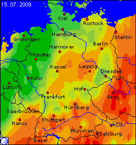
Wetteronline prognostiziert auch eine einigermassen hohe Gewitterwahrscheinlichkeit im Norden der Schweiz:
Quelle:
http://www.wetteronline.de
CAPE und der Liftedindex scheinen auch nicht total gegen Gewitter zu sprechen ...
Naja, so zumindest besagt das mein beschränktes Wetterwissen
Viele Grüsse
Lukas