Die Estofex Prognose für heute tönt vielversprechend:
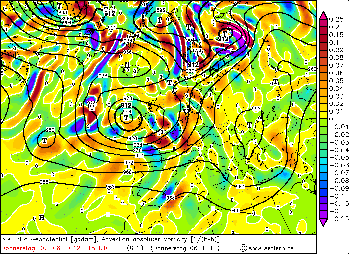
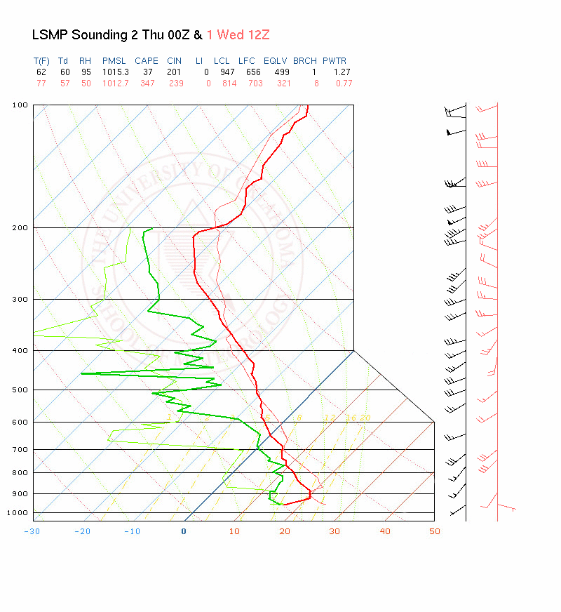
Quelle: http://www.estofex.org/"Together with the strong QG forcing, the vertical wind shear will increase during the day to 20 m/s across southern France and south-western Germany. Best hodographs are forecast along the southern flank of the surface front from southern France to western Switzerland. Current thinking is that supercells can evolve in this region affecting the western Alps and suroundings. Large hail seems to be the main theat, although severe wind gusts and tornadoes are not ruled out."
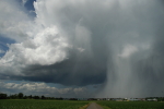
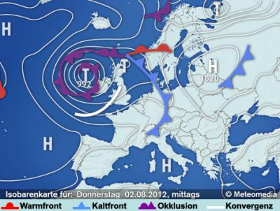
Das tönt doch nach einer Superzelle am Genfersee, oder nicht? Cosmo und auch andere Modelle (z.B. WRF) springen allerdings kaum an. Und auch die Leute von Keraunos sehen es ziemlich verhalten. Hmmm, mal schauen.. Vielleicht eine einzelne diskrete, aber dafür potente Superzelle in der Westschweiz, bevor es dann verbreitet an den zentralen und östlichen Voralpen zündet? Was meint ihr?
Gruss Chris
PS: Hab die Karten nur schnell überflogen.
 [/url]