Quelle: https://meteo.search.ch/prognosis
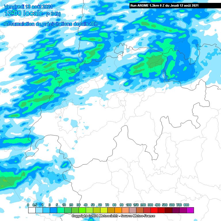
AROME:
Gruss
Bernahrd
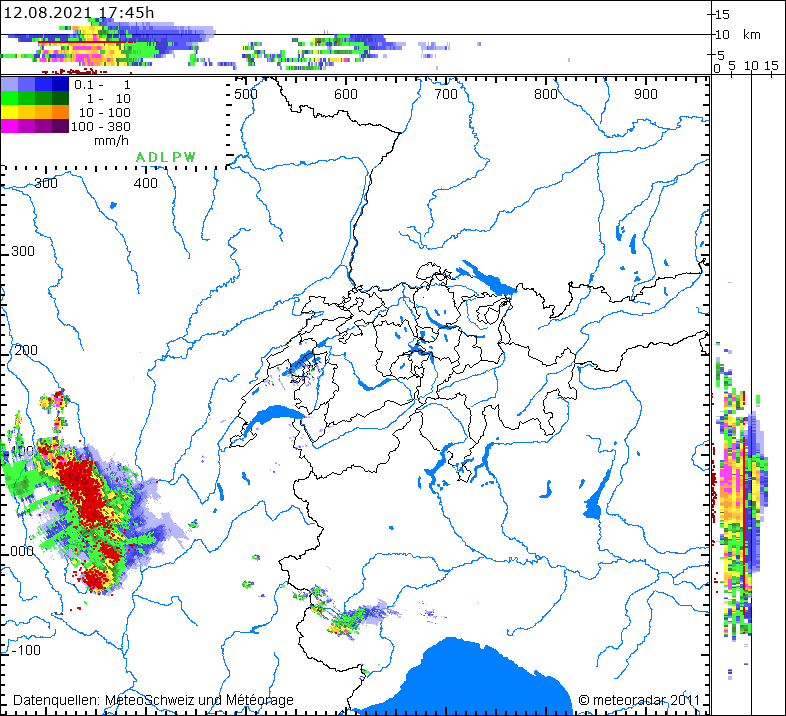
In Zusammenarbeit mit meteoradar

Werbung


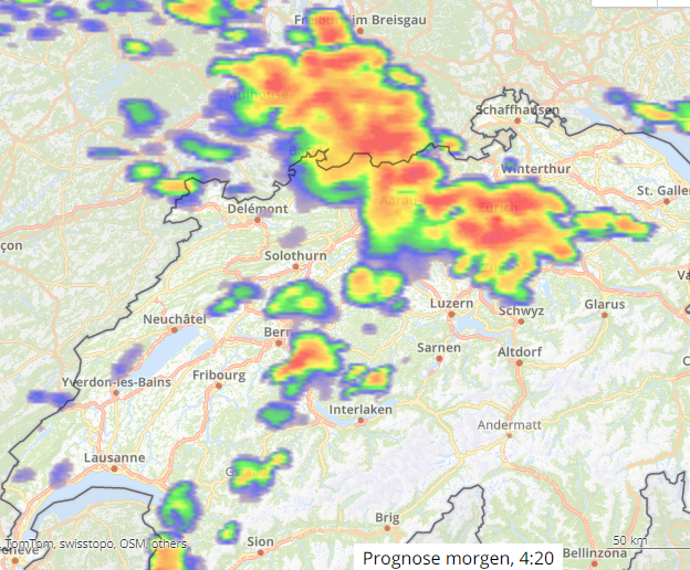
Jawo? Hoffnungsträger ICON mit verbreitet 0.2-0.5 mm am frühen Morgen. Ein Bug?Heute Abend bzw. in der Nacht auf Morgen sind Gewitter zu erwarten.
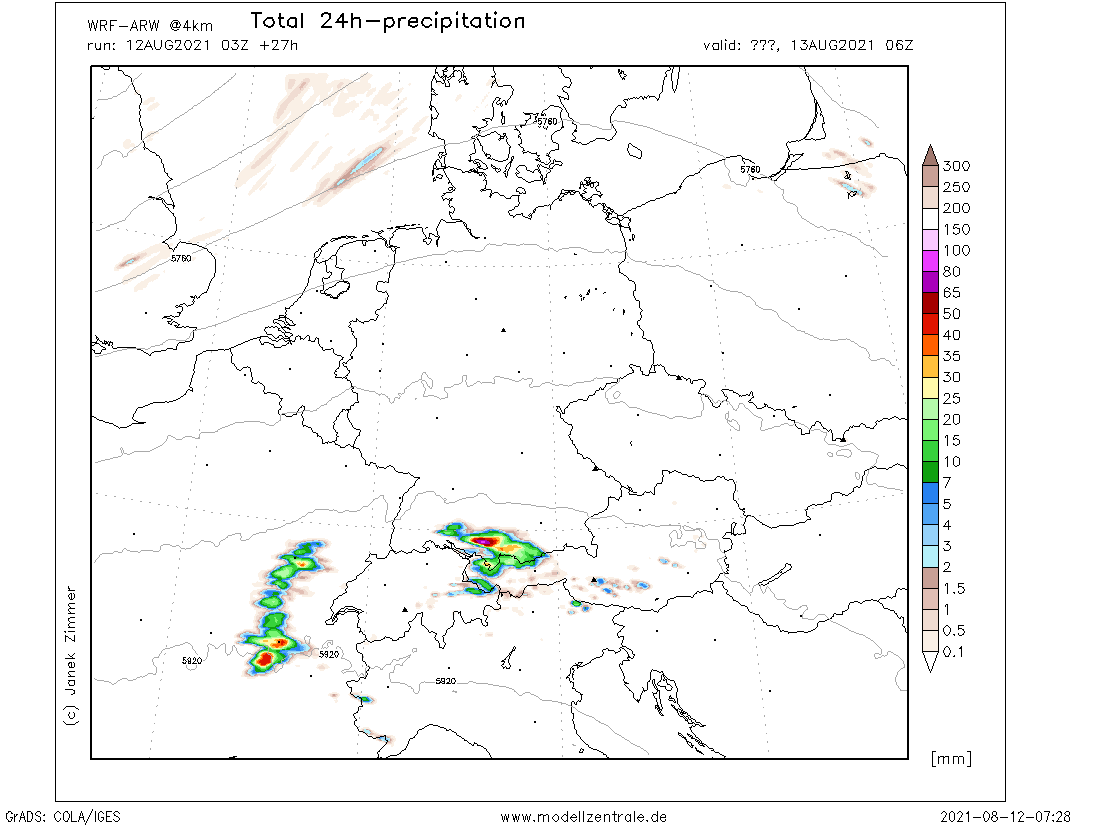
Mal sehen was die Modelle im Laufe des Tages noch so ausspucken.France into Alps, east Spain
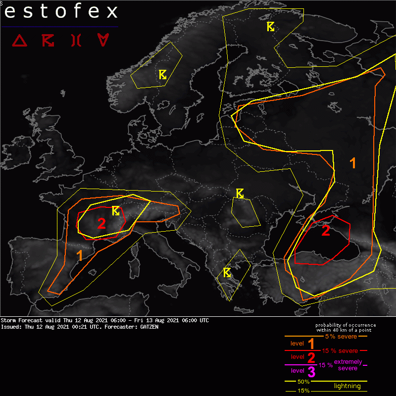
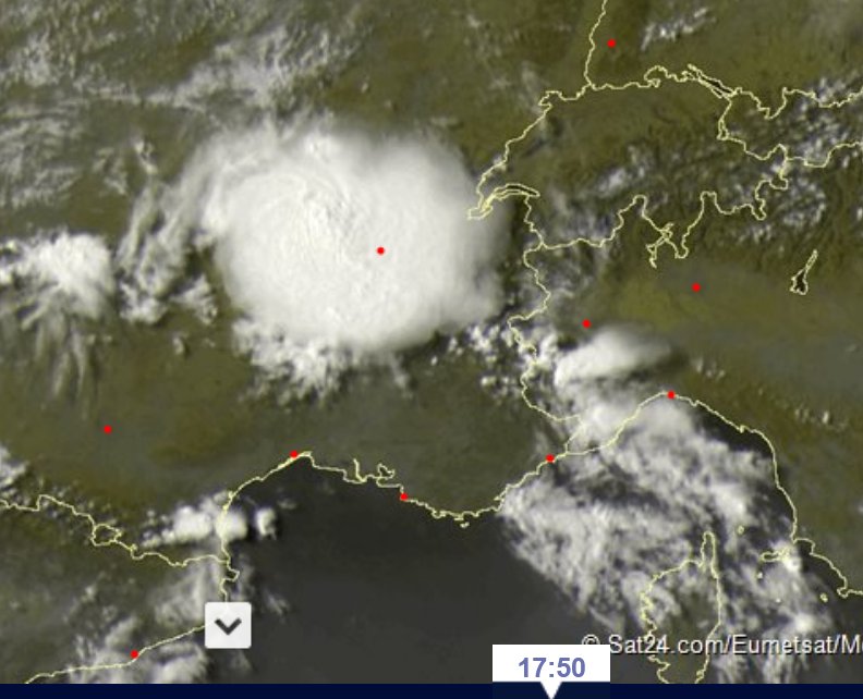
At the edge of a plume of well-mixed, unseasonably warm air, warm air advection is expected to develop ahead of a weak mid-level trough that curves around the edge of the Mediterranean ridge. Some frontogenesis can be expected with increasing lift in the afternoon, spreading from west to east. Affected air mass is very unstable, with steep lapse rates and rich boundary layer moisture, and MLCAPE will be in the order of 1 to 3 KJ.
Storms are forecast to develop over the mountains of eastern Spain and southern France as well as over the Alps in the afternoon, with higher storm coverage later on over France, spreading north and east.
Vertical wind shear is moderate, with rather strong 0-3 km shear, supporting some multicells and transient supercells that can merge to bow echoes over S France in the evening. Initial threat will be some large or very large hail and severe wind gusts, but some widespread wind events can be expected when storms merge later on and deeper cold pools evolve. Bow echoes are expected to travel east towards the western Alps. Remaining storms are expected across SW Germany in the morning, where severe threat in limited due to elevated nature of convection.
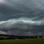
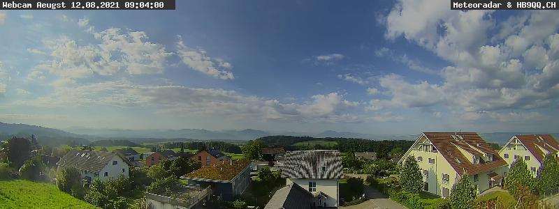
Die Schäfchen am Himmel deuten schwer auf GewitterEs lebe der technische Fortschritt!
Off TopicSommerliche Grüsse - Microwave
Heute wäre sonst ja noch Perseidenmaximum, wie seht ihr das eigentlich?
Die Cirrenschirme könnten ja recht fette Flächen vom Himmel verdecken meiner Meinung nach...


Werbung